The Institut Cartogràfic i Geològic de Catalunya keeps an extraordinary thing: a near-complete aerial record of the whole country, flight by flight, going back to the end of the Second World War. Their Ull del temps (“eye of time”) viewer lets you stand over any point in Catalunya and scroll through the decades. So I pointed it at our own roof.
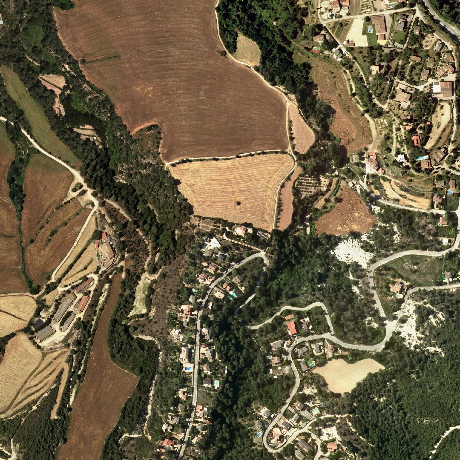
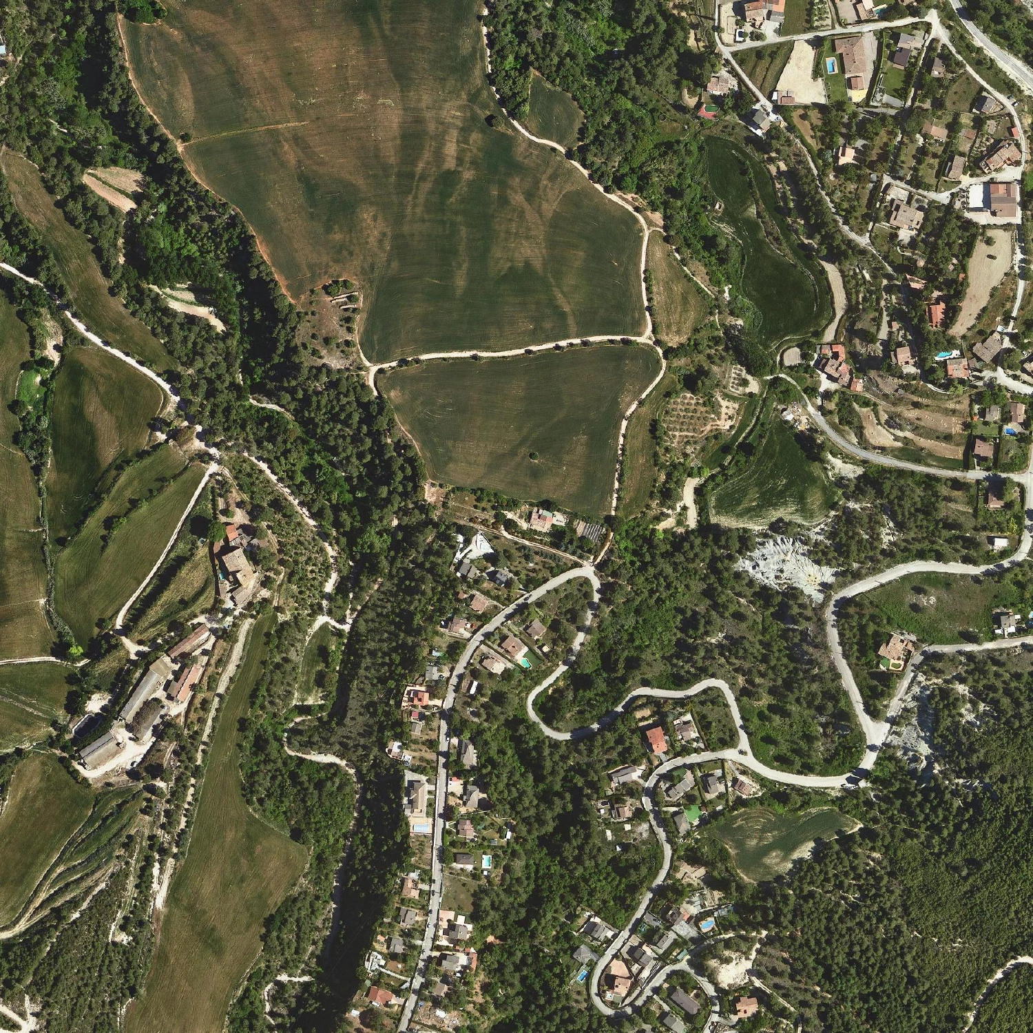
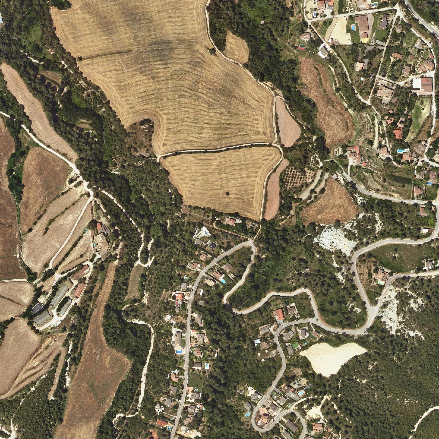
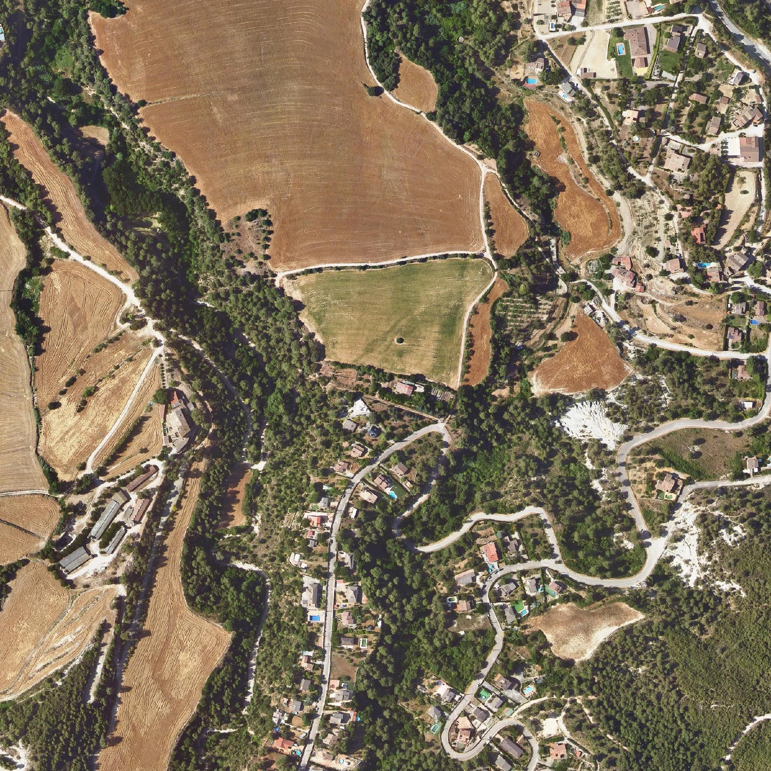
What follows is every orthophoto flight the ICGC has that actually covers Cal Penedes, from the 1946 postwar survey to last summer — twenty-eight in all. Each frame is the same ~500 m square, centred on the house, so the land holds still and only time moves. Click any year to enlarge it.
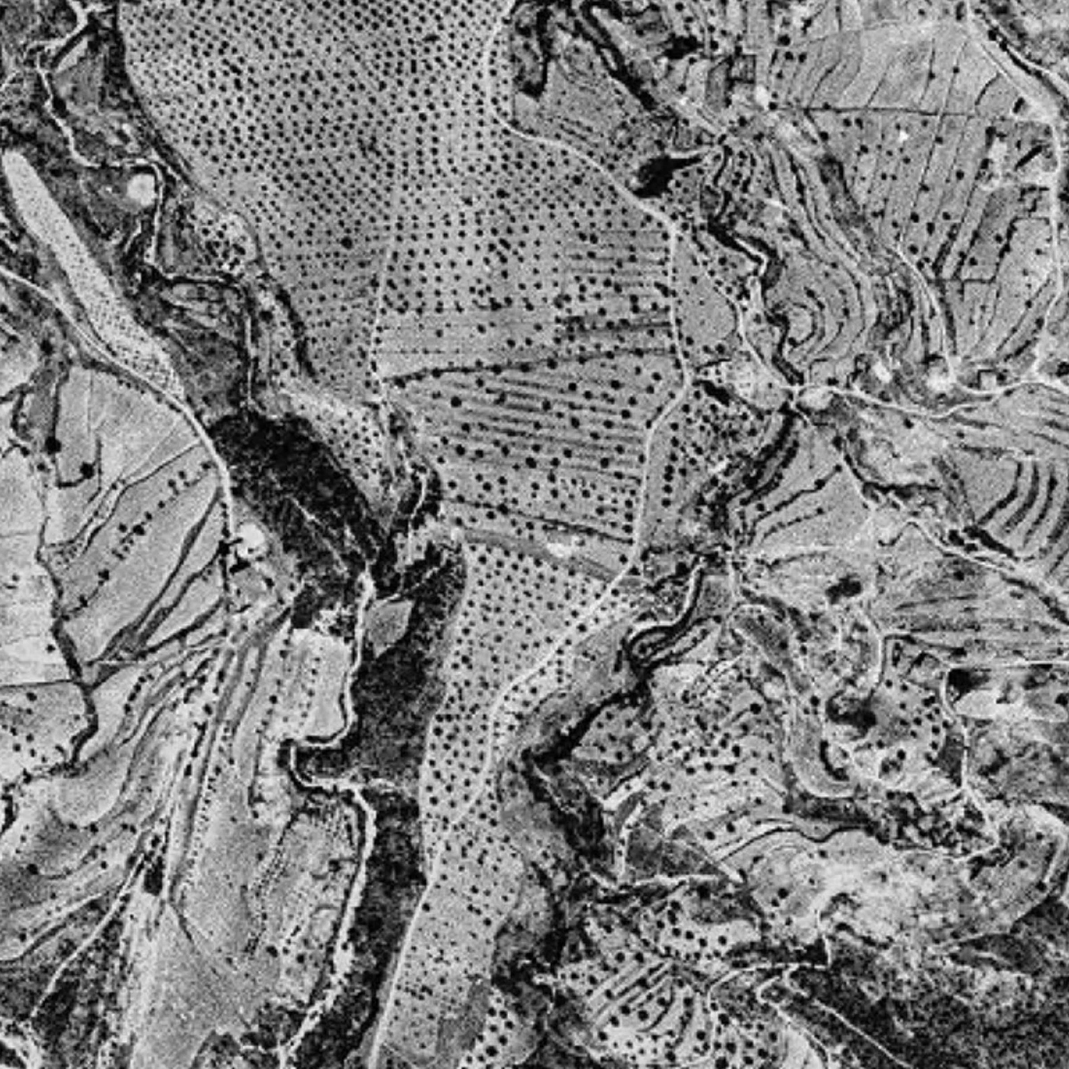 1946
1946
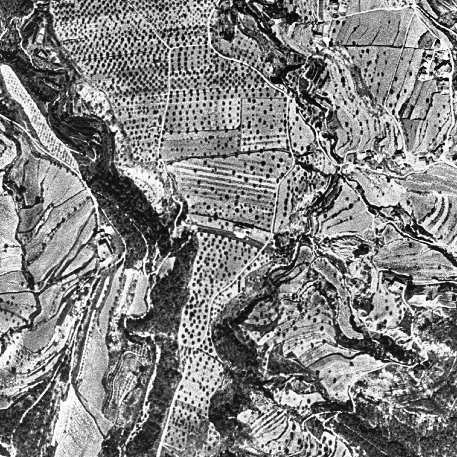 1956
1956
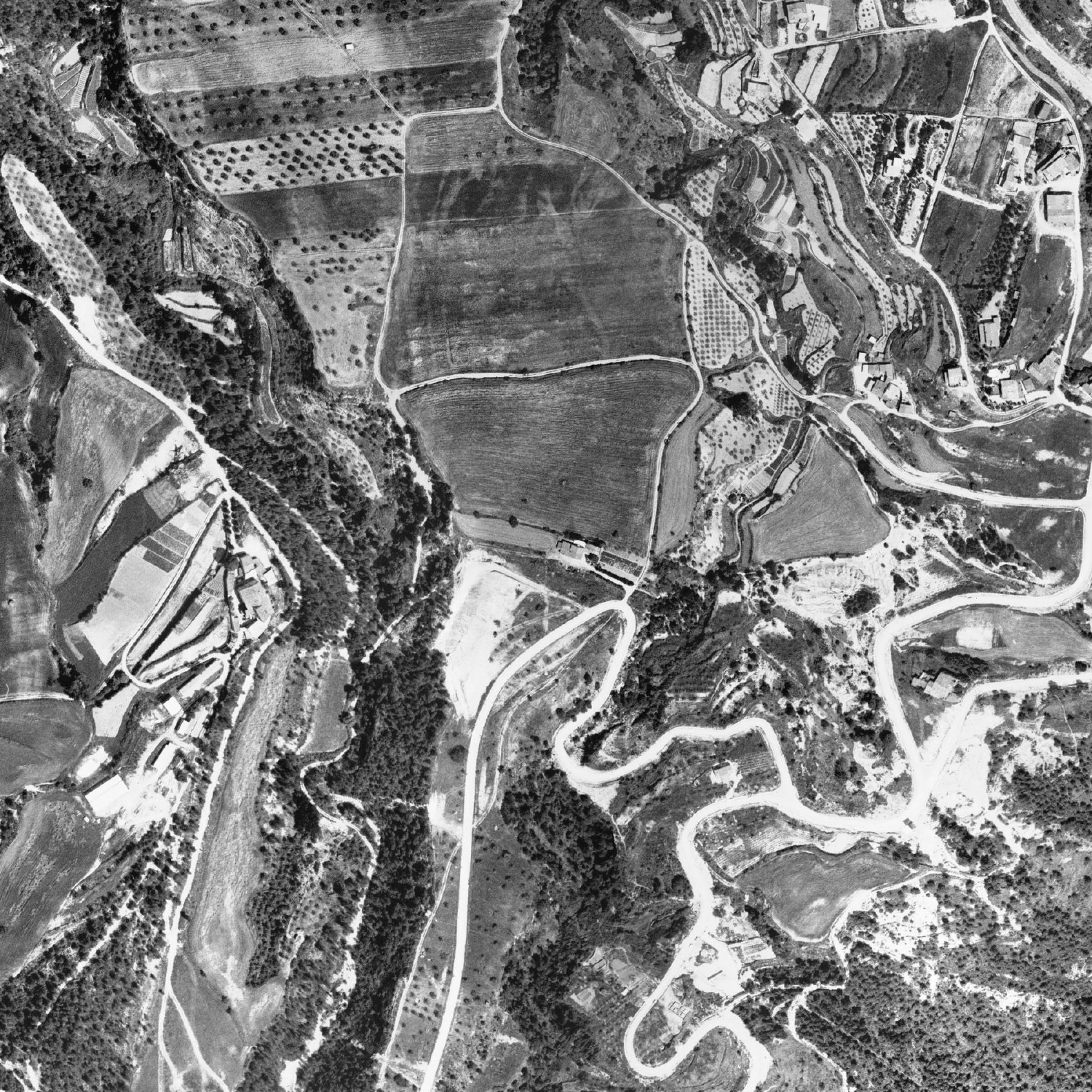 1977
1977
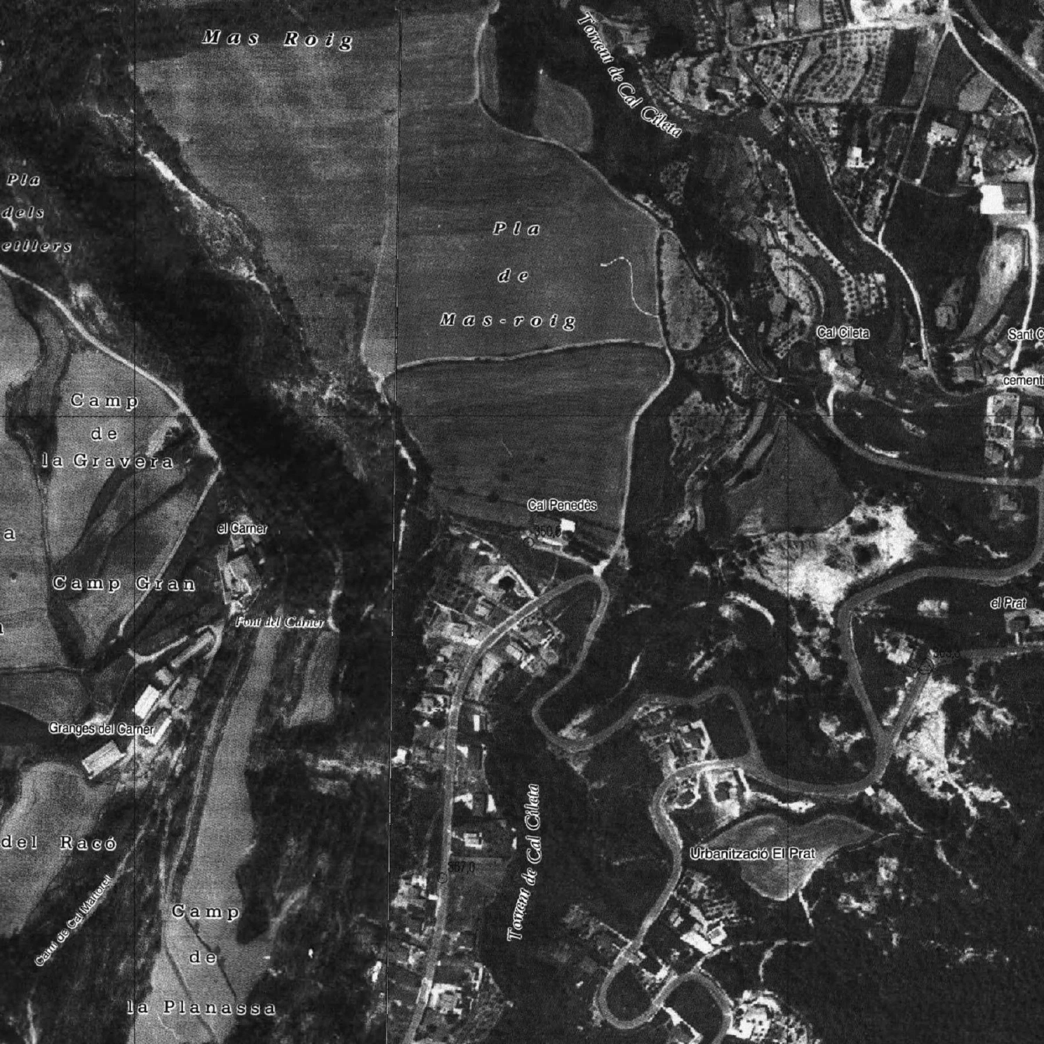 1984
1984
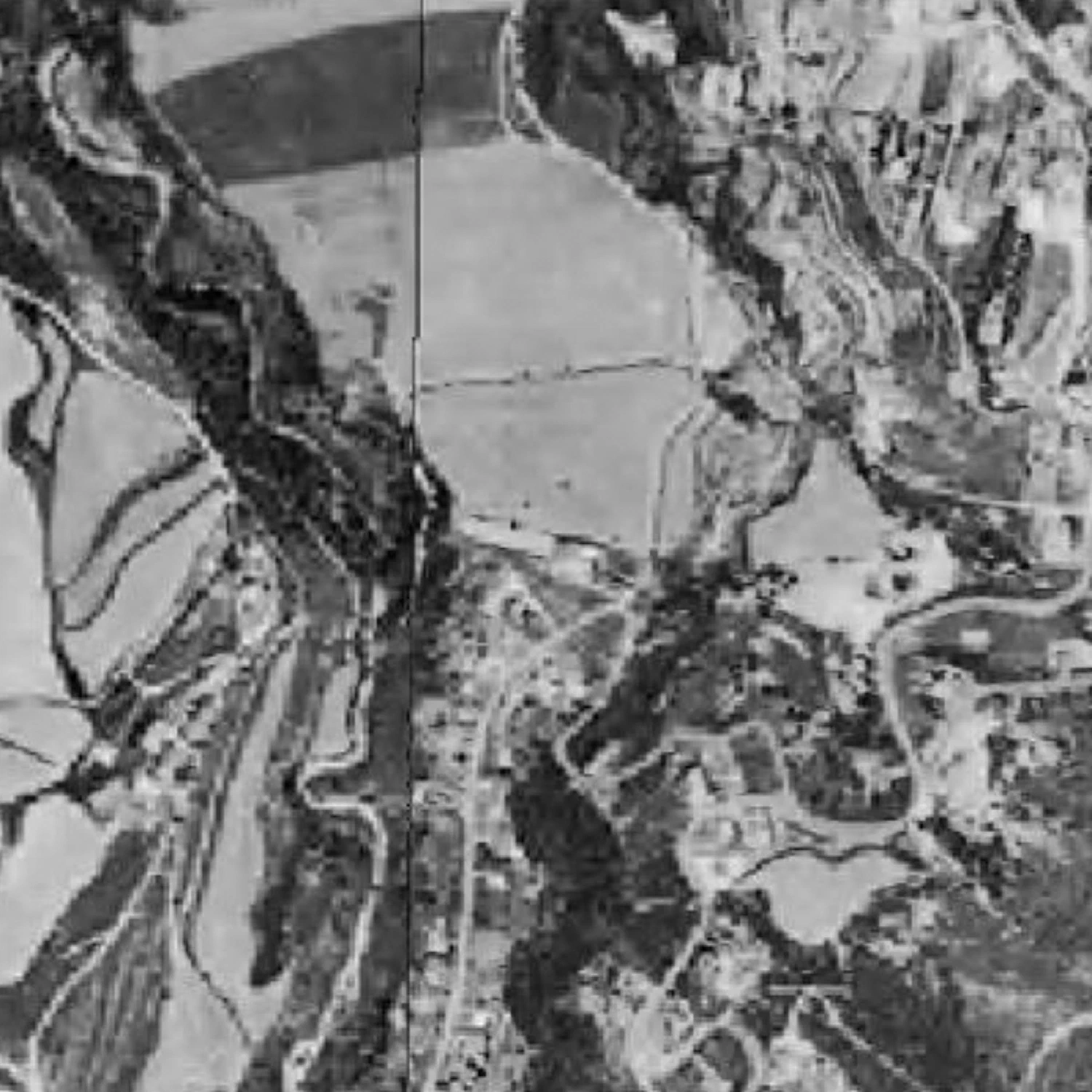 1990
1990
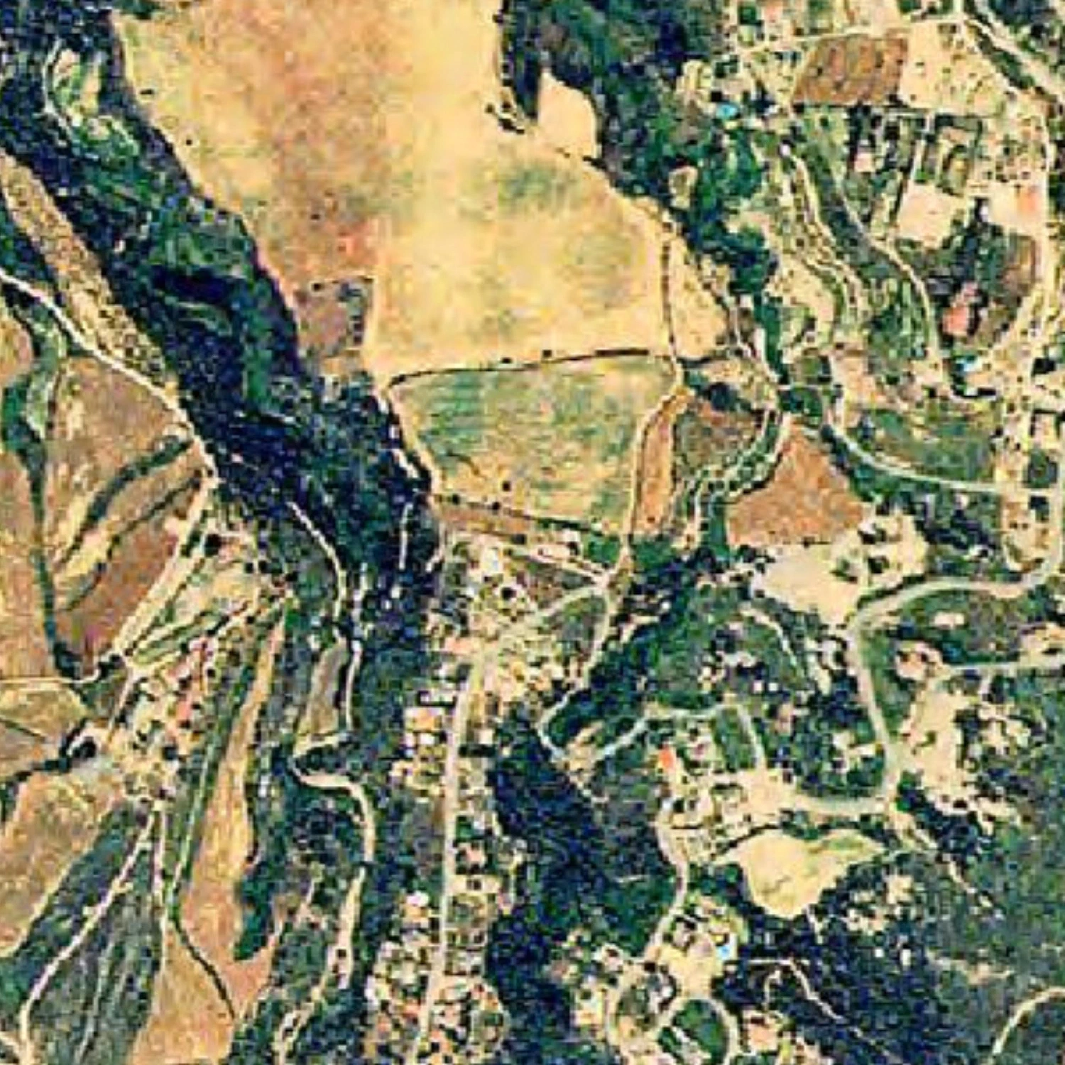 1993
1993
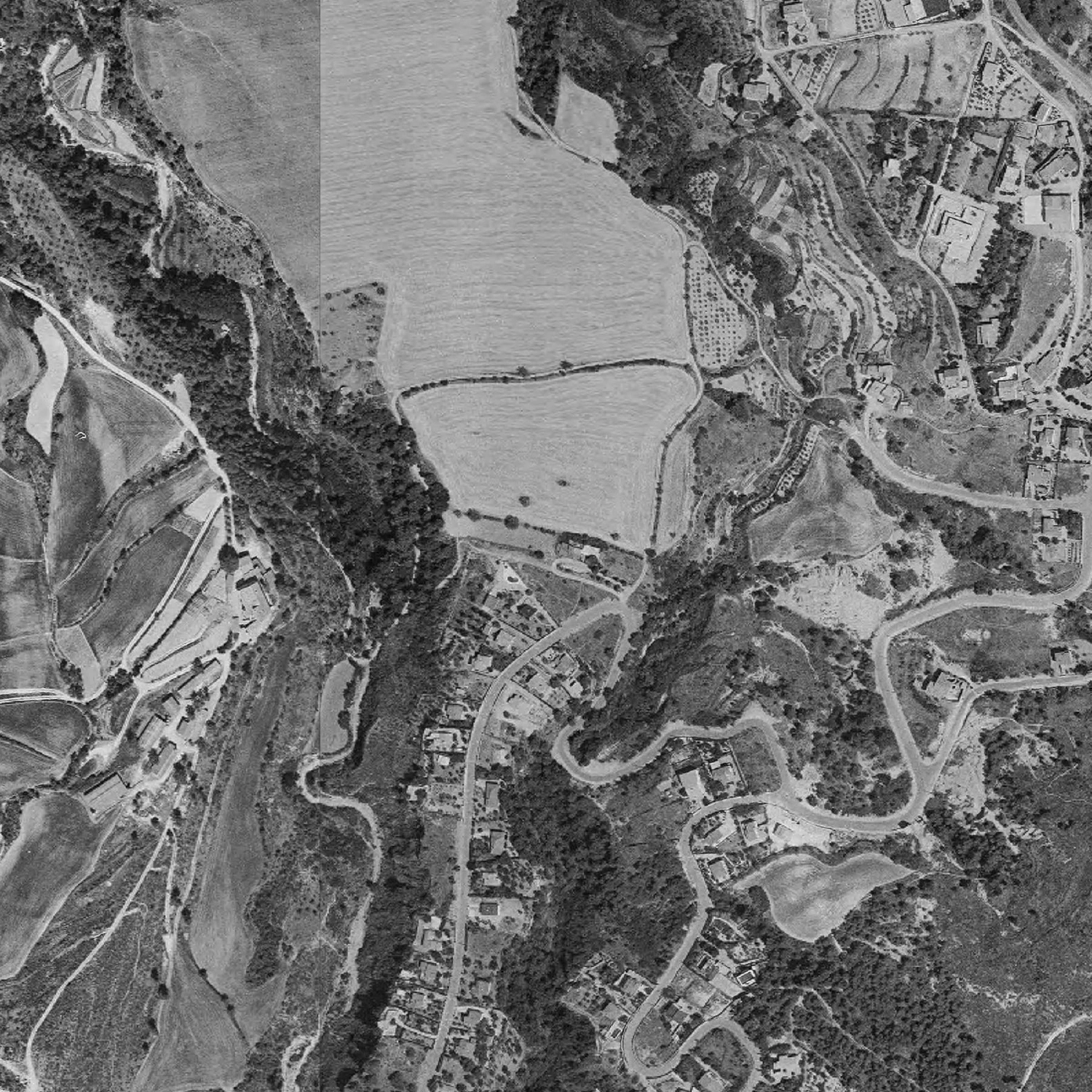 1994
1994
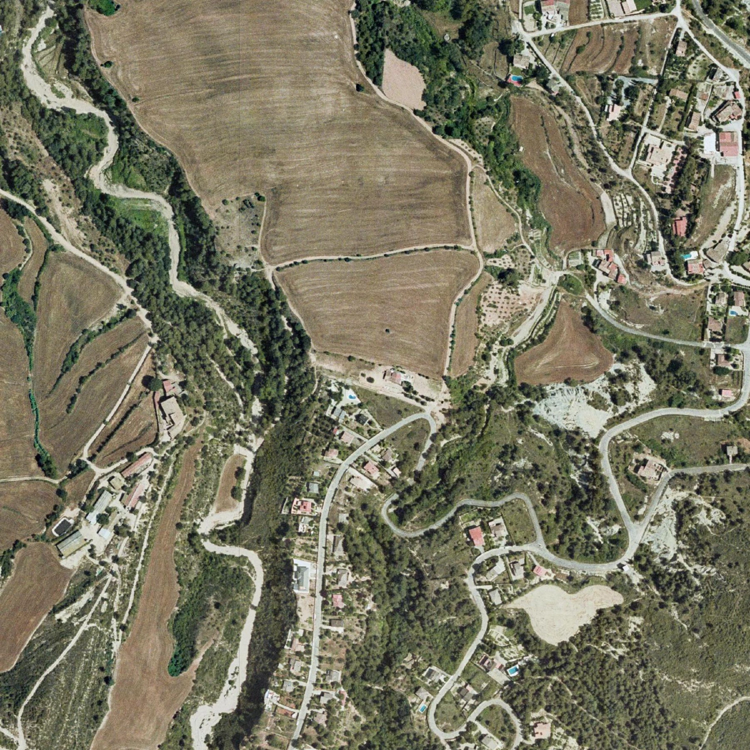 2000
2000
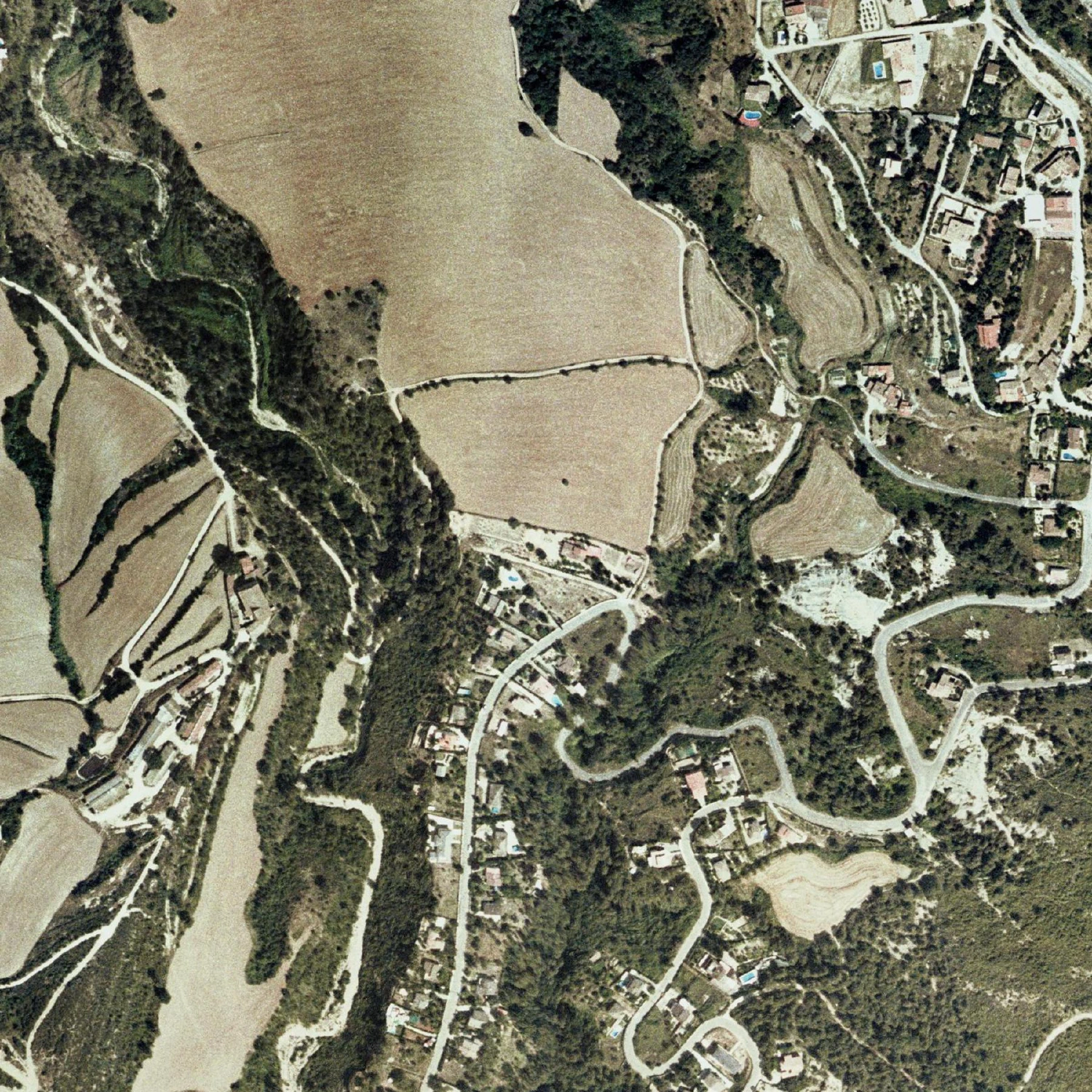 2004
2004
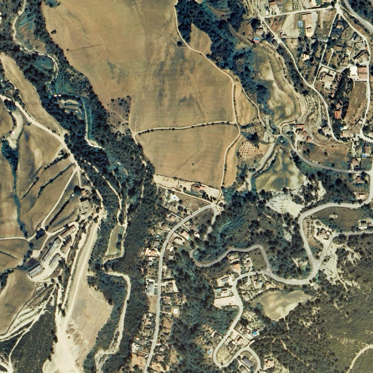 2006
2006
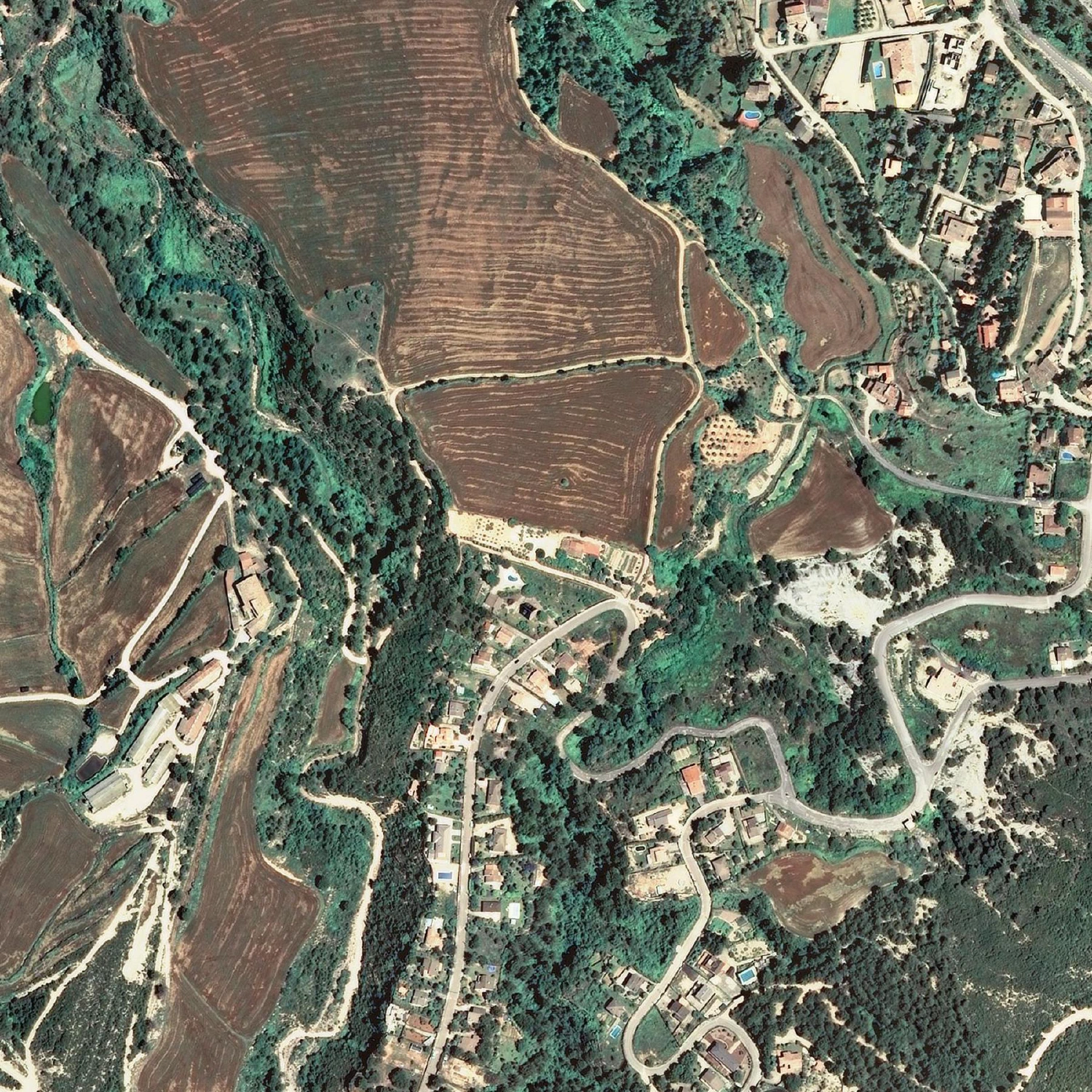 2008
2008
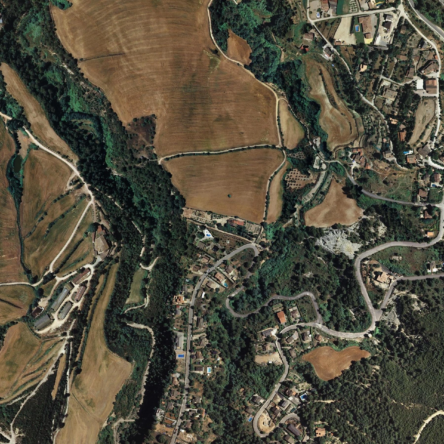 2009
2009
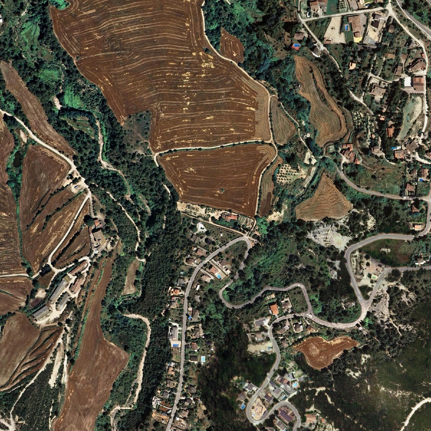 2010
2010
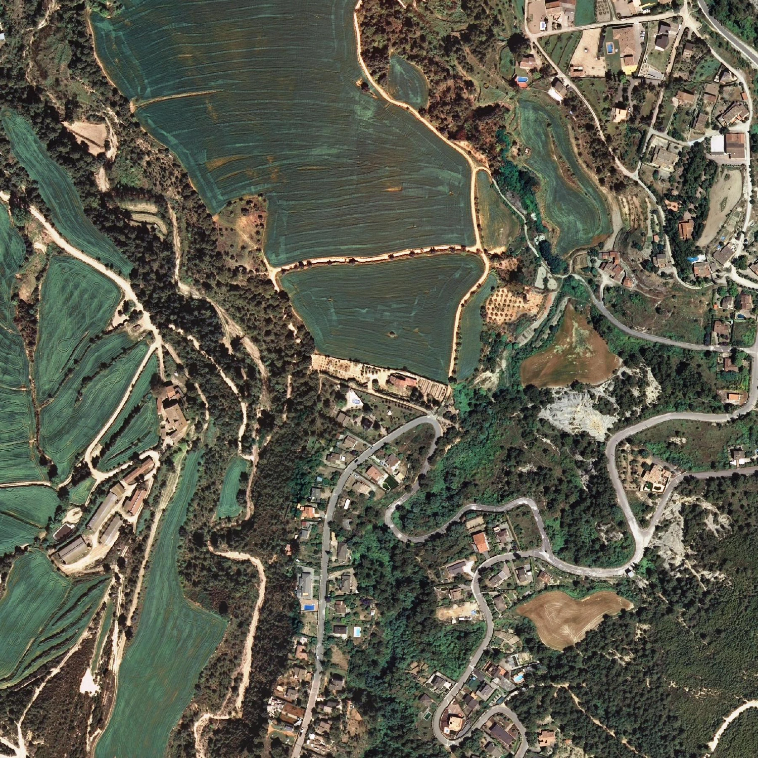 2011
2011
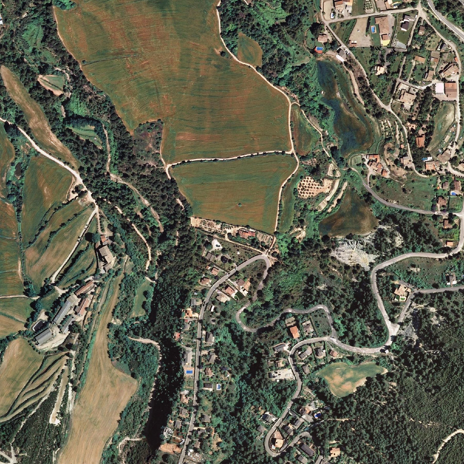 2012
2012
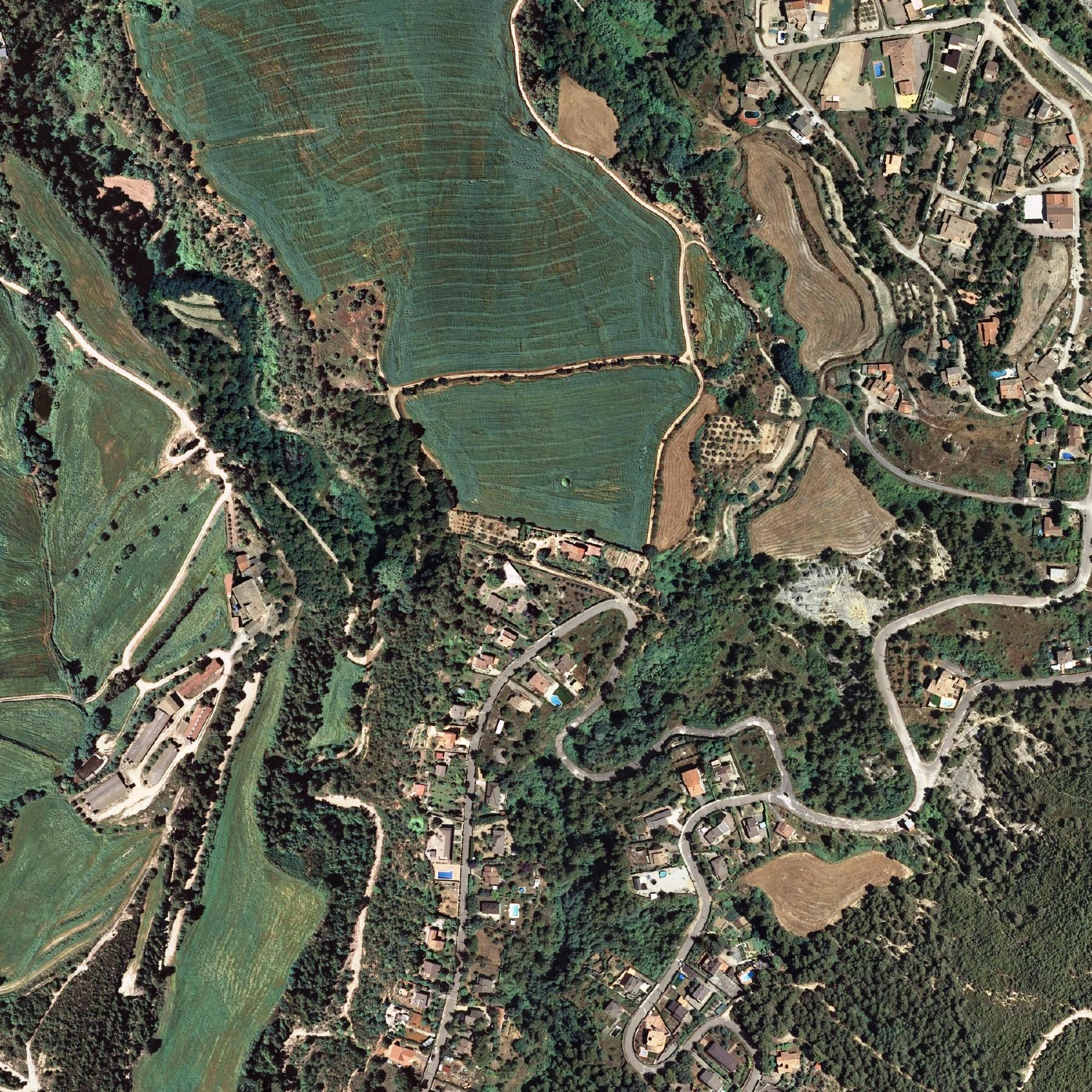 2013
2013
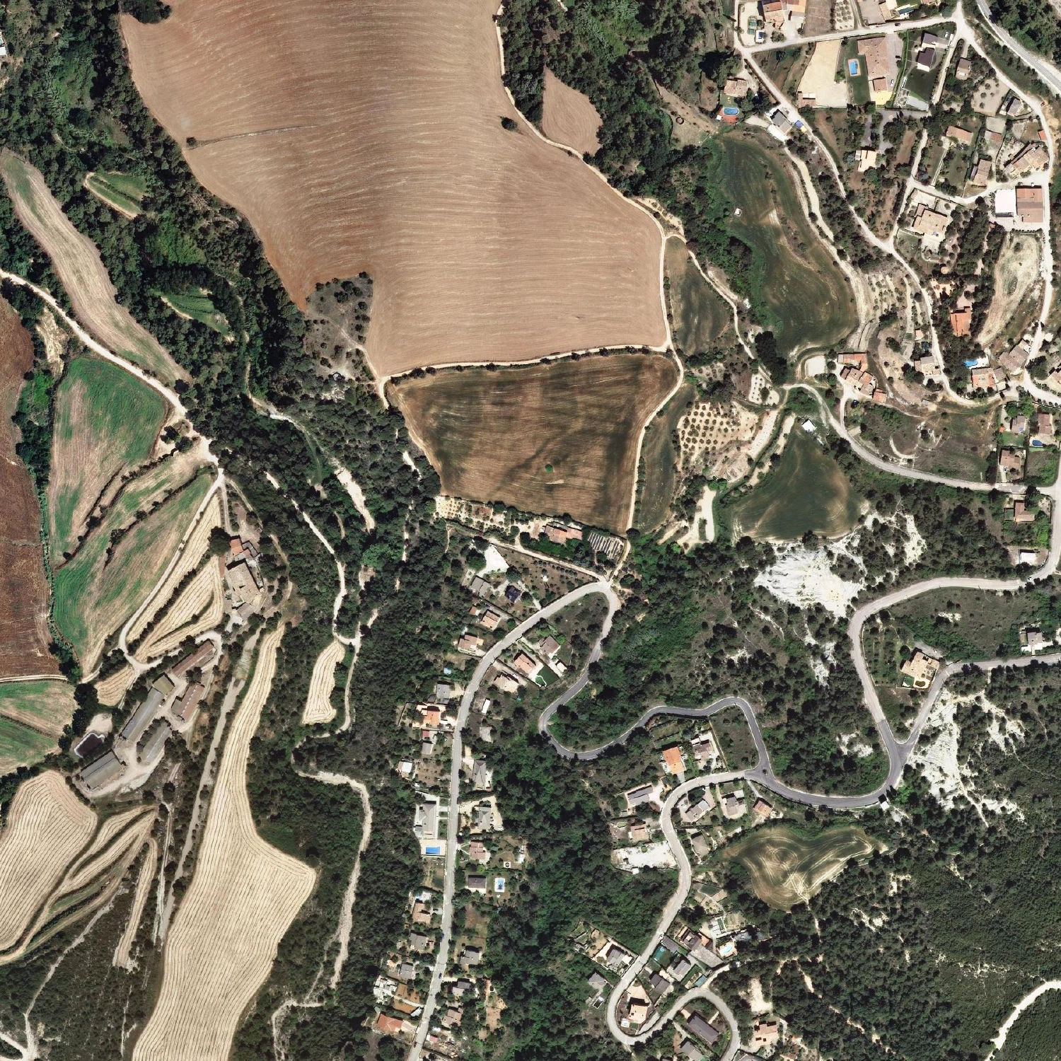 2014
2014
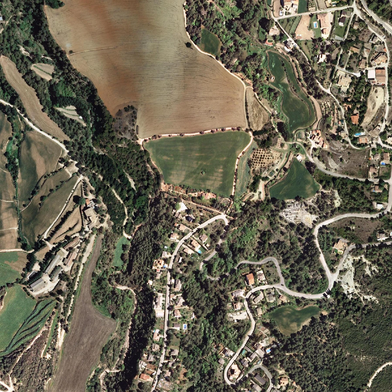 2015
2015
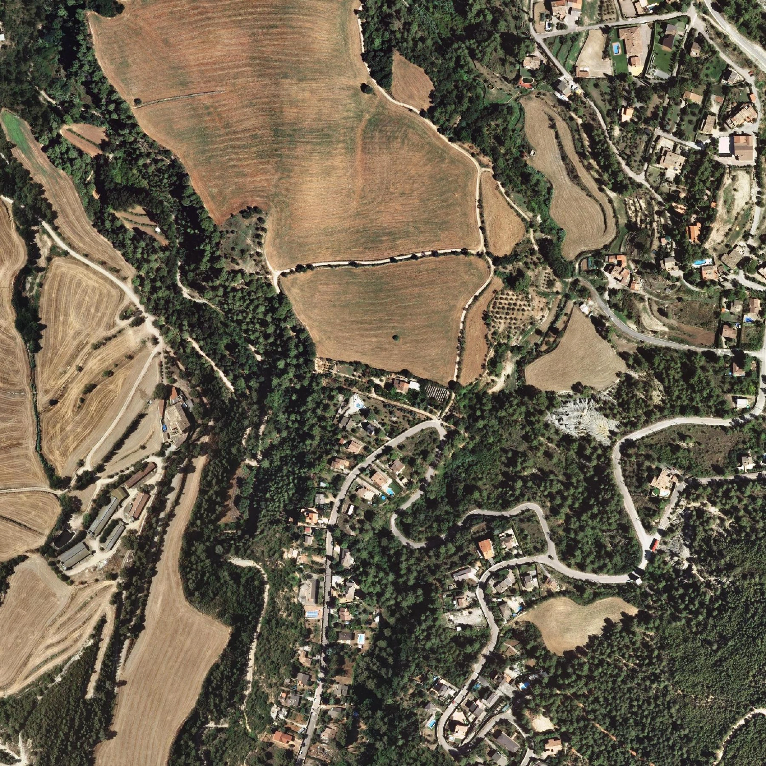 2016
2016
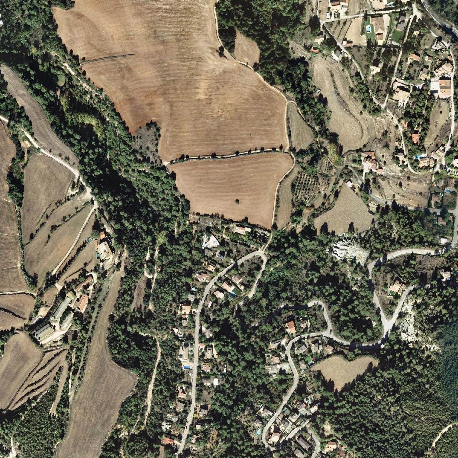 2017
2017
 2018
2018
 2019
2019
 2020
2020
 2021
2021
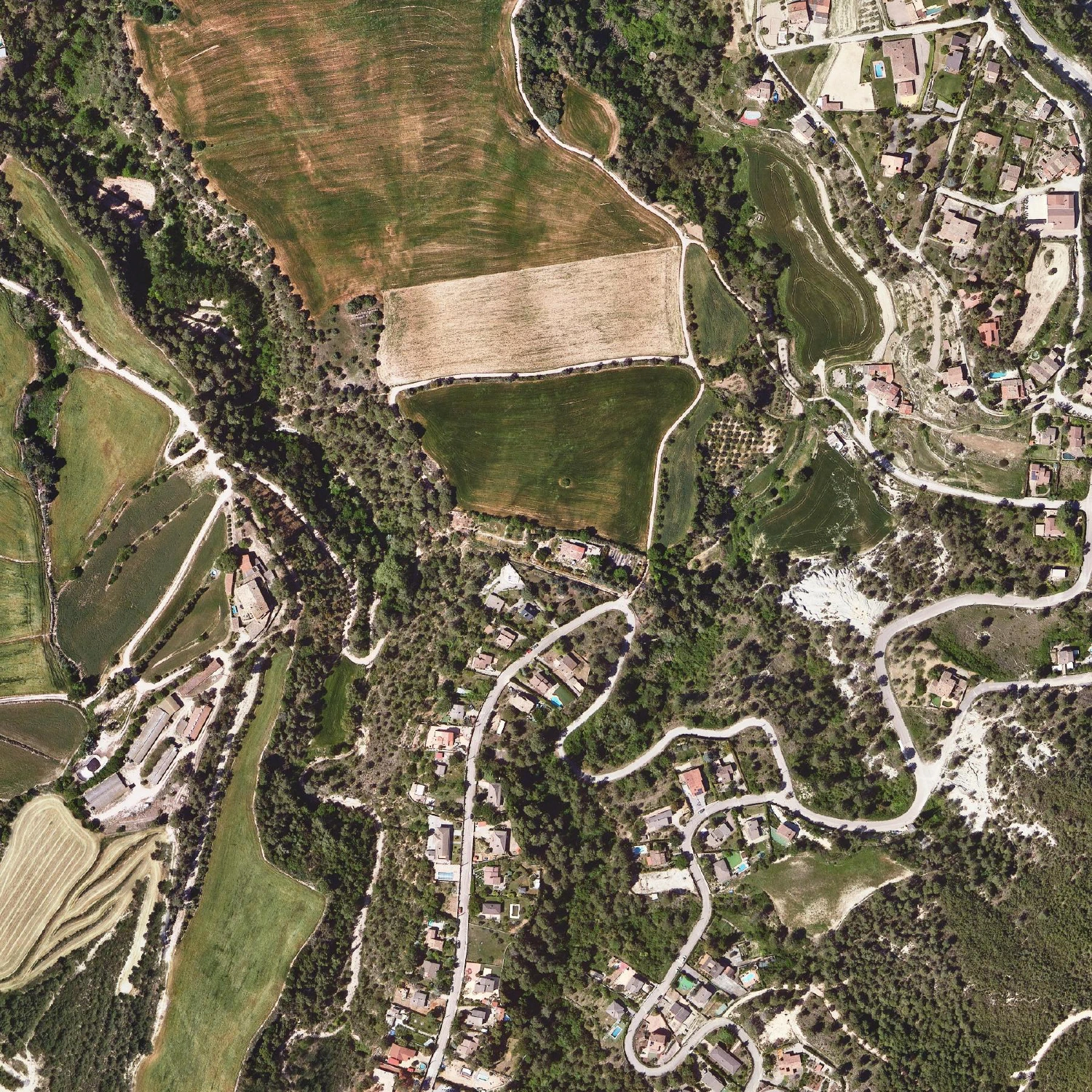 2022
2022
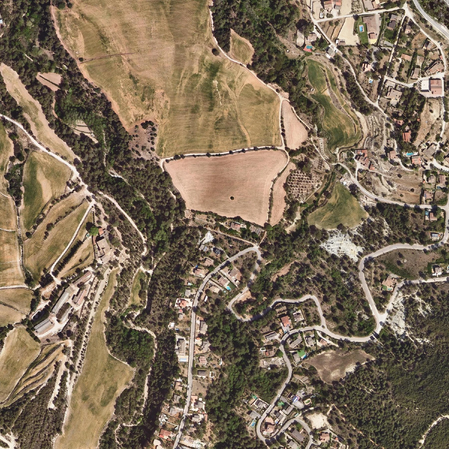 2023
2023
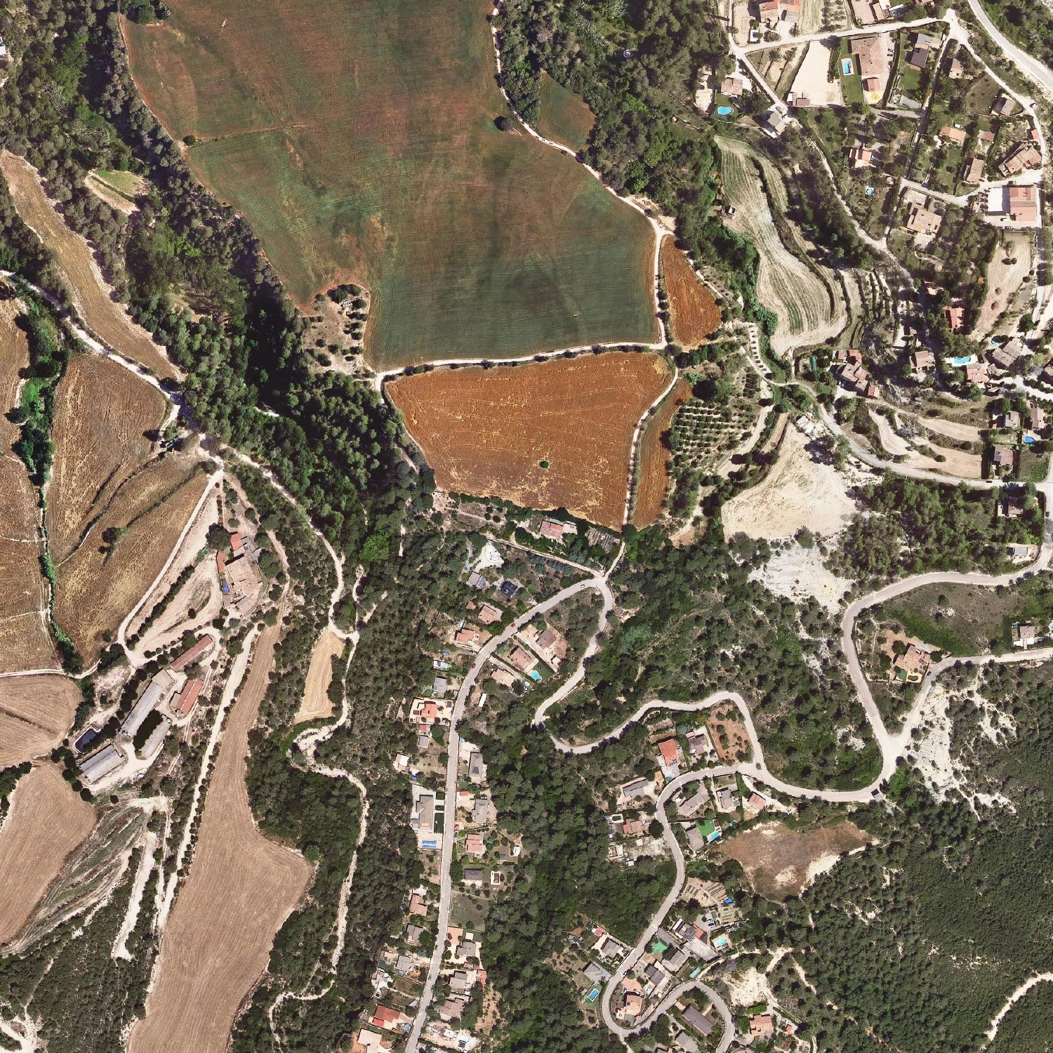 2024
2024
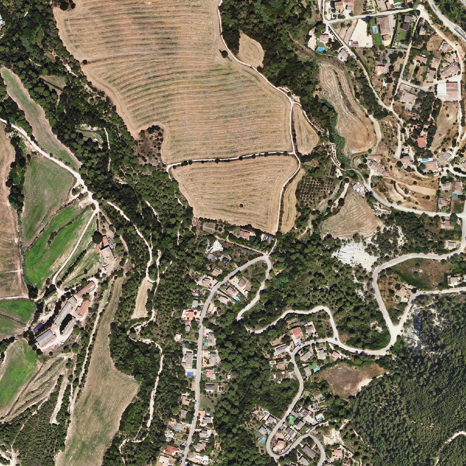 2025
2025
What to look for
The story these pictures tell is exactly the one the documents only hint at in a short history of Cal Penedes.
- 1946–1977 — the house sits alone at the southern edge of the Pla del Mas Roig, the big cereal plain that fills the top of every frame. The regular stippling in the 1946 and 1956 images is rows of olive and almond trees; the dry-stone field walls and terraces are still sharp. The circular barraca is in the field just north of the house, where it still is today.
- 1984–2000 — the Can Prat urbanisation arrives. The land that Mas Prat sold off in the late 1970s fills in with streets and houses along the bottom of the frame, creeping up towards us decade by decade. By 2000 the swimming pools have appeared.
- 2009 onwards — annual colour flights at 25 cm resolution. From here the changes are subtler: the Pla del Mas Roig cycles through its crop rotation (bare earth, green, gold) year to year, individual trees come and go, and the slow tidemark of the urbanisation finishes filling its plots.
The two oddly soft frames — 1990 and 1993 — are genuine: those are the only flights of that era that reach our point, and both were shot at 2.5 m resolution rather than the 25–50 cm of their neighbours. The gaps are real too. There is no usable 1960s coverage here, and the long stretch between 1984 and 1993 yields only those two blurry frames.
How these were made
Each image is a single GetMap request to the ICGC’s Ortofoto
territorial WMS, centred on Cal Penedes
(41.6376° N, 1.8138° E / UTM 31N 401202, 4610215) with a 500 m
bounding box. Where a year was only published as a multi-year mosaic, I
asked the service for the actual flight date at our exact coordinates
with GetFeatureInfo, so every frame is labelled by the day it was
really flown, not by the name of the layer. Adjacent layers that turned
out to be the same flight were dropped.
Orthophotos: Institut Cartogràfic i Geològic de Catalunya (ICGC), used under CC BY 4.0. Browse them yourself in Ull del temps.